Network map management
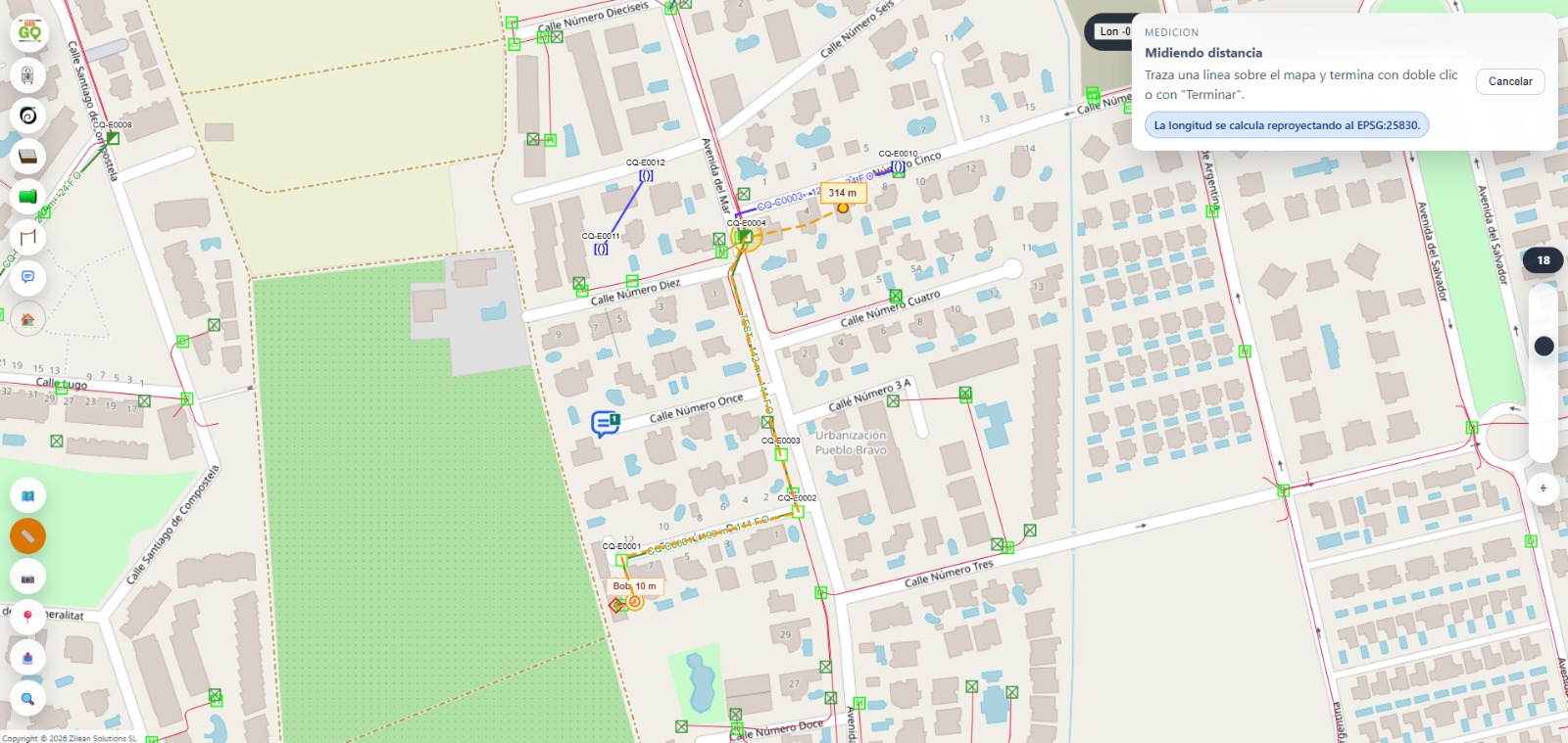
- On-map view and editing of structures, ducts, cables, crossings, real estate units and georeferenced comments.
- Creation, move and geometric editing tools.
- Optimized loading by project and viewport to reduce resource usage.

GIS platform specialized in FTTH networks for designing, documenting and maintaining the entire outside and inside plant on interactive maps. Manage projects, structures, ducts, cables, enclosures, splices, splitters, ODFs and OLTs with integrity control, traceability and per-project permissions.
Live product · a brand by Zilean Solutions
Eight functional areas designed around an ISP's daily operations: from the map to the port, from field work to reporting.
Real product screenshots. Send us the final files and we drop them into the same slot — the descriptions stay.
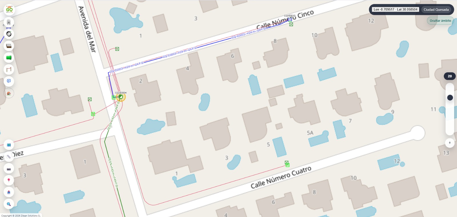
Edit the network directly on the map: drag structures, trace ducts, connect enclosures. Loading is limited to the visible area and the active project, so it scales regardless of plant size.
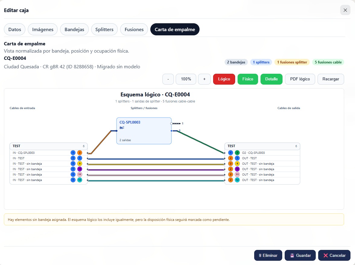
Bulk splicing, automatic free-fiber suggestions and alternate views to inspect the same splice from three angles. Before saving: occupancy and conflict validation.
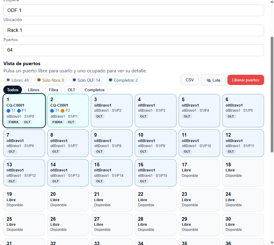
Assign or release ports on ODFs and OLTs in bulk, with automatic suggestions and pre-save validation. Everything is logged in audit: who, what and when.
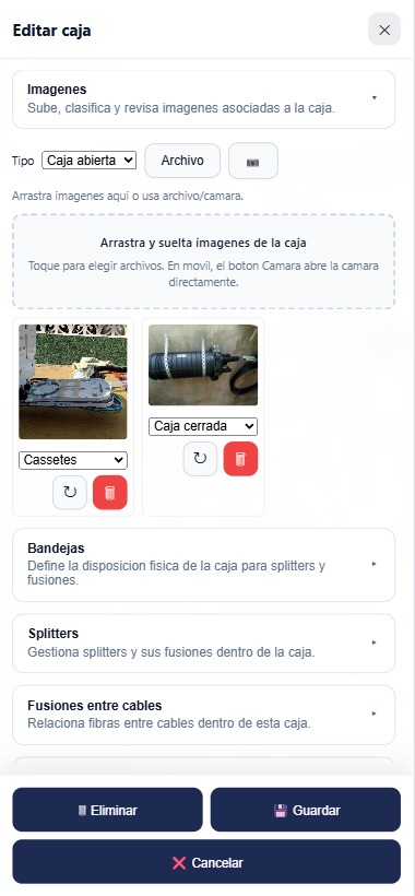
Upload enclosure photos straight from the installer's phone camera. Automatic image optimization on upload, drag-and-drop from desktop when back at the office.
The features we are currently working on. If any of them is particularly relevant for your operation, tell us and we'll prioritize it.
We'll show you the product with sample data and, if it fits, we run a pilot on a small area of your plant. We reply within 24 business hours.